Main Project Goal:
I have chosen the state of Arizona for this project. I will show the total population of the state's counties from the year 1900-1900 and 2008. Along with the total population, I will show the population change percentages. Maps will be created through ARC GIS and posted on this webpage.
State
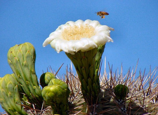
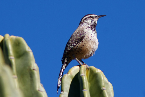
Flower: Suguaro Blossom (Cactus) State Bird: Cactus
Wren
State
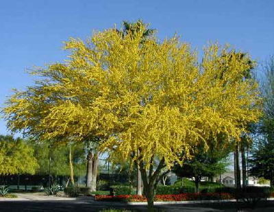
Tree: Palo Verde (Green Hair)
www.delange.org/ArizWFlowers/Dsc00088x.jpg
http://farm4.static.flickr.com/3392/3210912115_684225eebc.jpg
http://z.about.com/d/phoenix/1/0/s/D/paloverde1.jpg
www.delange.org/