|


|
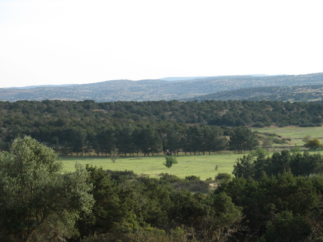
Libya consists mostly of huge areas of desert. It shares borders with Tunisia and Algeria in the west, and Egypt in the east, while the Sahara extends across the southern frontiers with Niger, Chad and the Sudan. There are almost 2000km (1250 miles) of Mediterranean coast, with a low plain extending from the Tunisian border to the Jebel Akhdar (Green Mountain) area in the east.
Summers are hot and winters mild with cooler evenings. The desert has
hot days and cold nights.
The national language of Libya is Arabic. English is the most popular second language taught in schools regularly.
Please be patient because of the pictures, this page may take some time to
load.
|
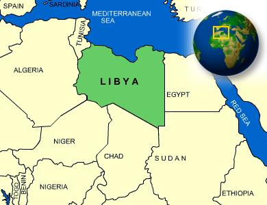
The area of Libya, one of the largest countries
in Africa, is 1,757,000 sq km (678,400 sq mi).
|

Libyan flag, all green with no symbols |
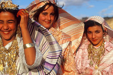
traditional women clothing |
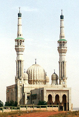
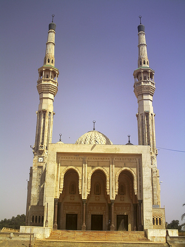
Islam is central to Libyan life. Libyan life revolves around the regular religious practices advocated by Islam with most of the citizens attending regular prayers at mosques. |
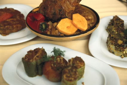
Libyan cuisines is strongly influenced by Italian delicacy. Pasta and macaroni are very popular in Libyan menus.
The national dish is the most popular couscous, a dish made from semolina or a type of wheat flour. |
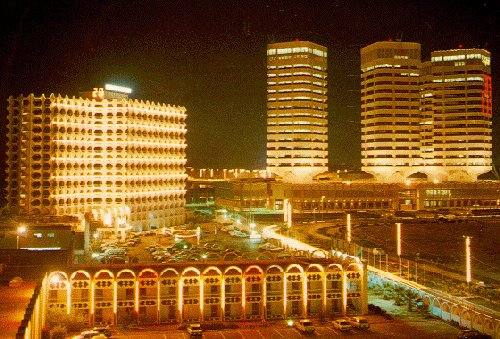
Capital City: Tripoli |
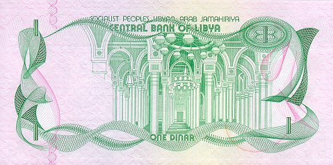
Libyan Dinar (LD) =
1000 dirhams |
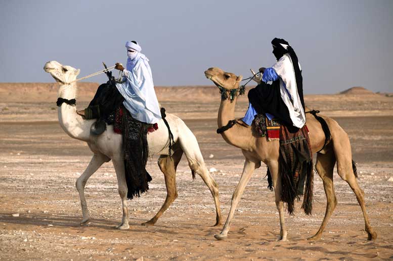
Libya’s population is a mixture of Berber and Arab ancestry.
Berbers were the natives who occupied the land before the arrival of Arabs. |
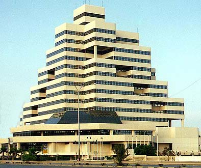
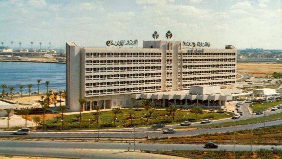
Benghazi, the second city |
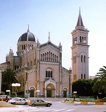
Cathedral in Central Tripoli |
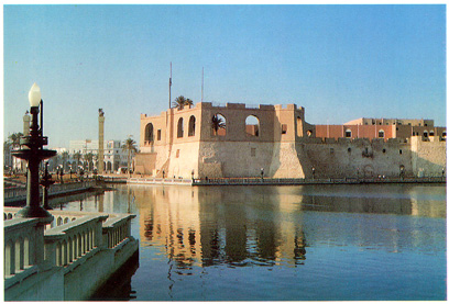
Asaraia Al Hamra
(The Red Castle) in Tripoli
|
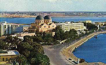
Benghazi, second city |
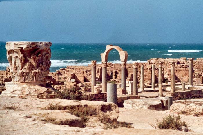
Leptis
Magna, or Lepcis Magna, was a prominent city of the Roman Empire. Its
ruins are located east of Tripoli |
Leptis Magna theatre |
 Benghazi Benghazi
|
 |
 |
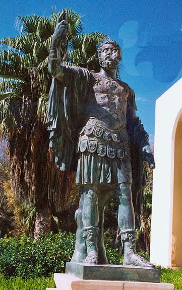
Leptis Magna: statue of Emperor Lucius Septimius Severus |
Leptis Magna arch |
|
Al-Marj city, my birth place |
 |
 |
 |

T |

On . |

|